
We are very excited for the project that we started with the motto of The Best. I am proud to be a part of this project.
Buğra COŞKUN
Senior GIS DeveloperHow to Get Started?
This page has been created to give some tips to our users who want to use our BlueGIS Mobile GIS software. Learning this page step by step will help you reach the fastest and most accurate result. Our users who are familiar with GIS software can quickly complete their education by proceeding to the Visual Education section.
How to Use Education Data?
Education data generally includes data that you will use in video or literary documents that you will progress step by step. Each section is presented to users in a categorized form according to its number. Therefore, you will be working with healthy data at every step.
The Data You Upload Belongs Only to You
We do not save any data you have posted on our system. However, if you want, you can back up your own data in GISLayer databases. The data saved in GISLayer databases can be used by you and the users with whom you want to share the data within their authority.

Why A Mobile GIS Software?
It has also become a great network tool for Internet and Computer GIS software. It enabled field-office synchronization with each user using the same version at any time and sharing data over the network. With instant database operations using the infrastructure of chat applications, the data drawn in the field can now be monitored instantly at the office. For this reason, mobile software that works in the GIS sector has provided a great use area to use field data in the office.
Common Data Usage
- Save Data to System
- Find User to Share with
- Grant one of Edit, Monitoring, Admin Authorizations
- Work Synchronous
Documentation
Documentation titles are listed below. Please proceed step by step. Please Click to Download Education Data
Visual Education
Visual Education titles are listed below. Please watch in order Please Click to Download Education Data
Education Data
If you want to download the education data in parts, please find and download the required data from the list below.
F.A.Q.
Please read the following questions and answers before sending your questions to us.
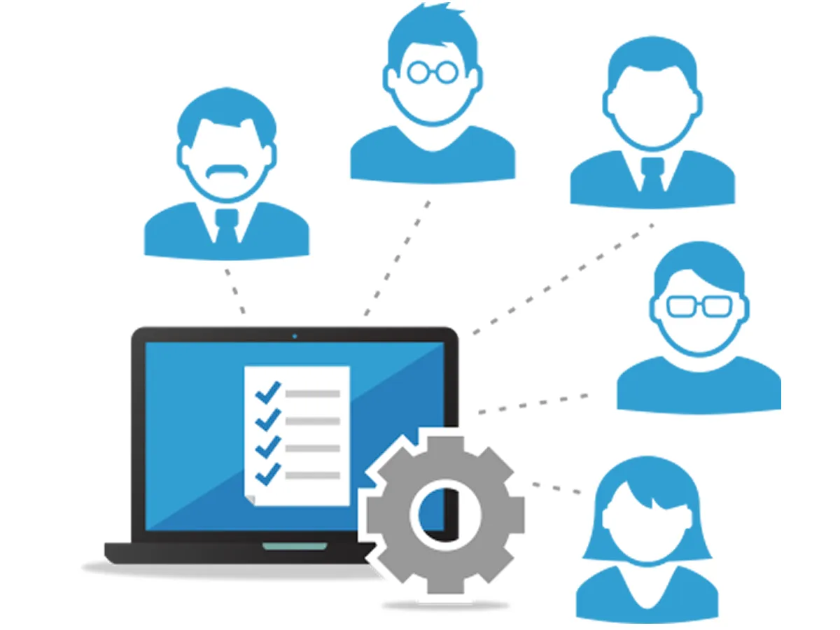
1 What Does Collaboration Mean?
Collaborate on data; First of all, it takes place between people who share the master data with the real owner. When people share their data, they can open it under drawing a new geometry, editing and deleting . You can perform your transactions according to the authorization status.
2 What are the Payment Methods?
There are two types of payment methods. First of all, the fastest solution is the purchases made with the 3D Security method for our members using internet banking. The second method is to send a fee to GISLayer through EFT or SWIFT transactions. Users who prefer the second method need to wait up to 1 hour for their credits to be loaded. In addition, they should specify their e-mail addresses in the description section during the sending process.
3 How Can I Control Usage Credits
On the detail pages of the packages we offer you, there is information about how many credits are offered with which feature. If you wish, you can create your own unique package and determine the credit amount yourself. You can learn the remaining usage from the profile tab.
4 Is it Possible to Work with Big Data?
In web technology, vector data are presented to the user in the form of tile services to reduce the burden. Therefore, you can transfer your big data to the system and convert a whole file to pbf service. So you will be able to use your vector data and make it open faster.
Support
For support purposes, please send your questions and comments to info@gislayer.com