
Web GIS Software Development For You
With our experience, we want to put all our knowledge at your service in a correct use. The security and capabilities of the software you want us to produce are very important to produce a quality product.We can:
Produce the mobile-friendly, easy and simple design.
Produce RESTful API and make it available as a service.
Develop in a modular structure with object oriented programming.
Provide trainings that are open to development.
You can connect with your customers with user management
You can manage your system with the management and analysis panel.
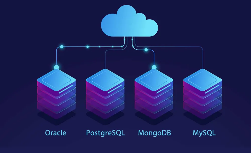
Spatial Database Design
A database with geometry always requires more careful work. We can:
Help you build a consistent connection to keep the data accurate.
Prepare the connection diagram of relational databases.
Create editable tables hosting GeoJSON.
Provide training on spatial databases.
Fix your mistakes by doing tests in the database
Clean and organize corrupted data
Make your data able to produce analysis.
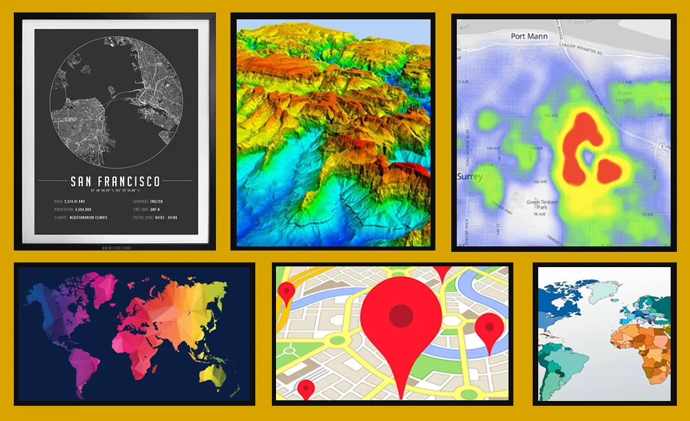
Creating Custom Maps
We can produce maps with the features you want with countries, provinces and existing data.Besides, we can:
Help you publish.
Produce custom city maps
Create density and thematic maps
Produce SLD and Mapbox Style files.
Produce custom printout maps for your walls
Create basemap designs.
Prepare the infrastructure to publish your maps.

Data Collecting
We can collect for you location-based data such as POI and land data you need. Also, we can:
Collect categorized POI data.
Collect regional Foursquare location data.
Collect line, polygon, point data from the map.
Collect points, areas and road information over the land.
Digitize data with photogrammetric methods.
Collect meaningful geometric data from satellite images.

Desktop GIS and Module Production
We can produce special modules for use in familiar GIS software and offer them for your use. We can:
Produce modules on Arcis with ArcPY.
Produce modules on QGIS with Python
Bridge between modules and GISLayer.
Write custom mapbasic codes for MapINFO.
Produce desktop GIS software

Project Consultancy Service
We can provide you with consultancy services so that important details are not overlooked while developing your projects. We can:
Manage your GIS projects from beginning to end.
Produce solutions for problems that are not solved.
Speed up your long work with middleware.
Transfer our important knowledge in the field of GIS for your projects.
Get involved in your work with our teams and shorten the work time.
Create sample models and plan the work development process.